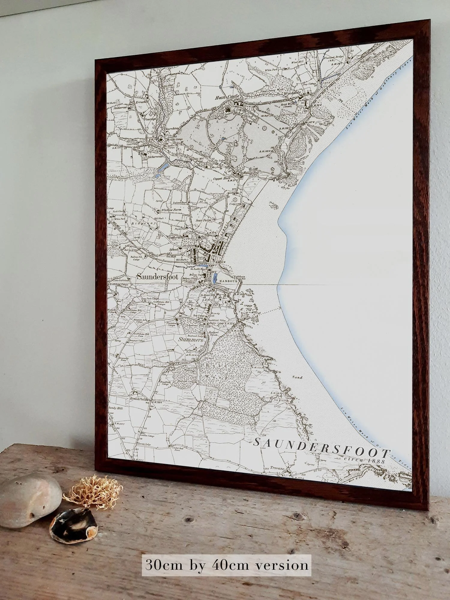
Image 1 of 3
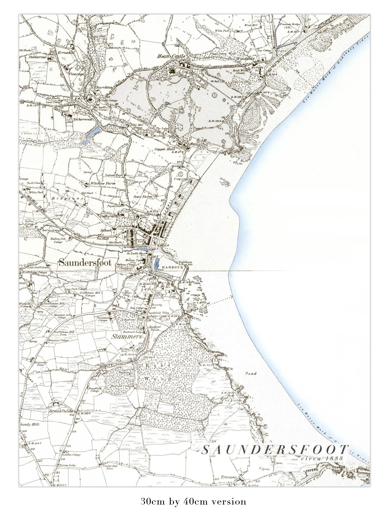
 Image 2 of 3
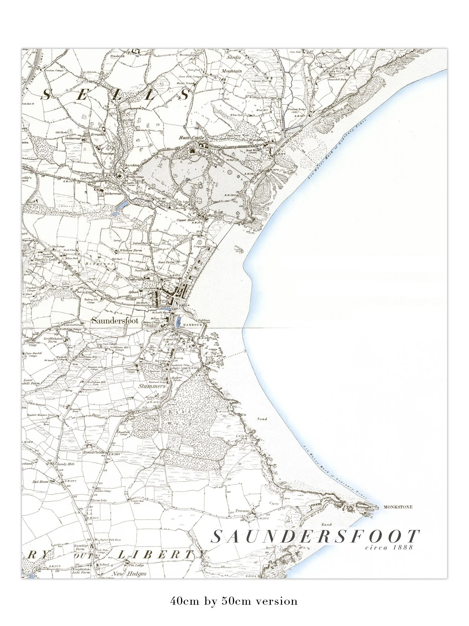
 Image 3 of 3
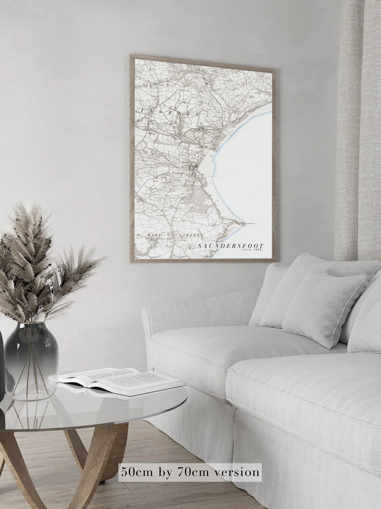
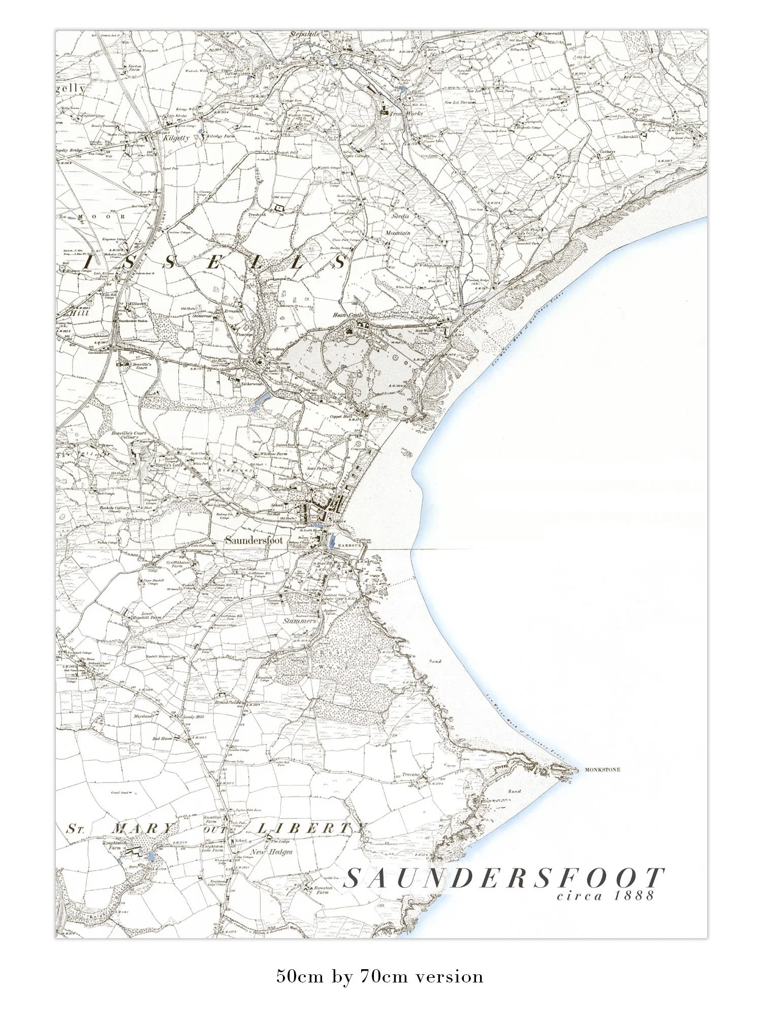
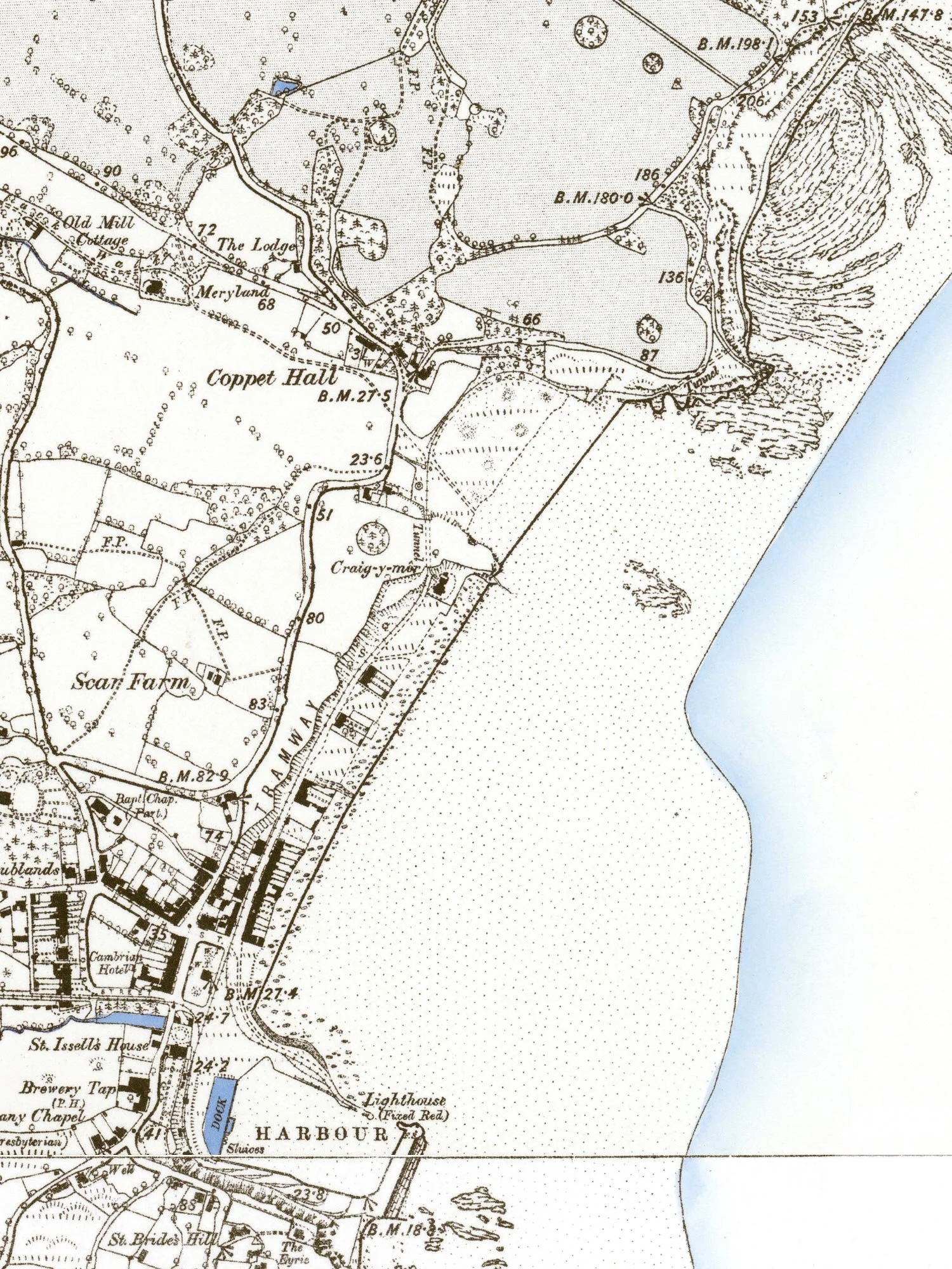
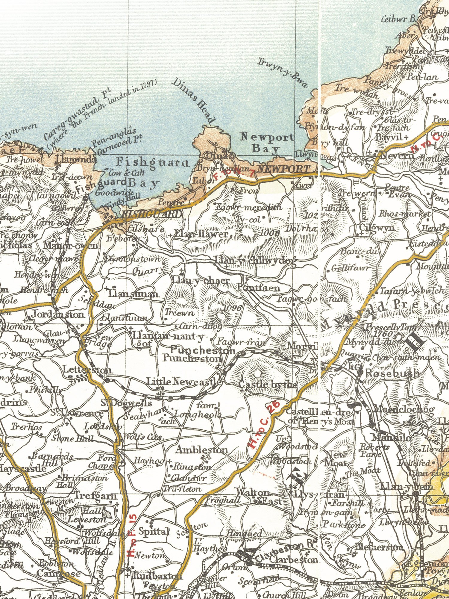
A fine art print of a digitally restored version of Bartholomew's c1920 half inch to the mile vintage map of Pembrokeshire in Wales. Incorporating small amounts of Ceredigion and Carmarthenshire too, this map is a treasure trove of Welsh and English names for features along the Pembrokeshire coast, and also inland too. Starting just north of Cardigan, the map covers the entire coastline around Pembrokeshire icluding the islands of Ramsey, Skomer, and Skokholm, and on to Carmarthenshire in the south to Pembrey Burrows.
This reproduction of a vintage Pembrokeshire map is available in 2 sizes, and giclée printed on fine art Hahnemühle PhotoRag 308gsm heavyweight paper.
Larger sizes are also available, please contact us for details.
Please note - it is sold unframed, as a print only.