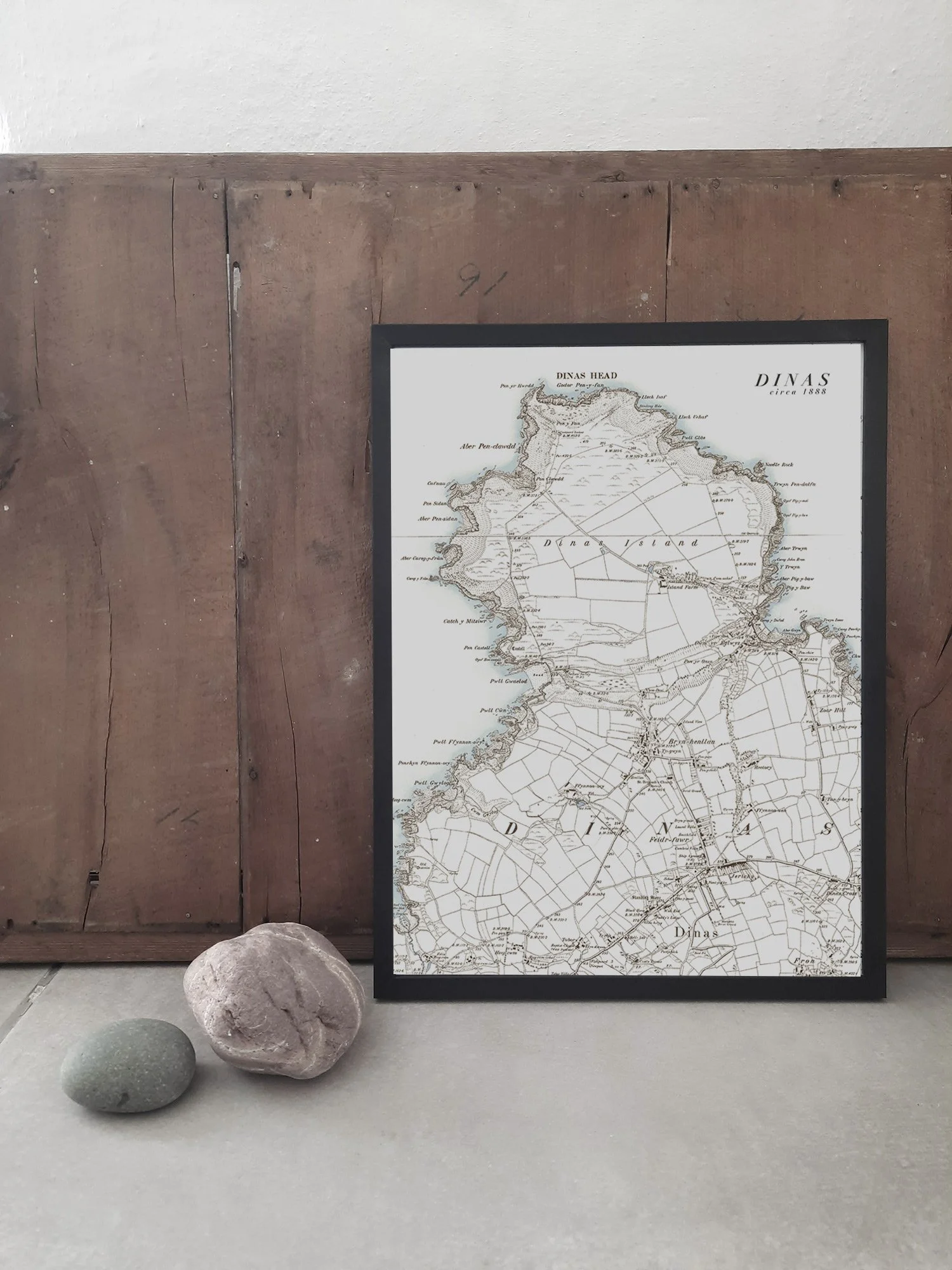
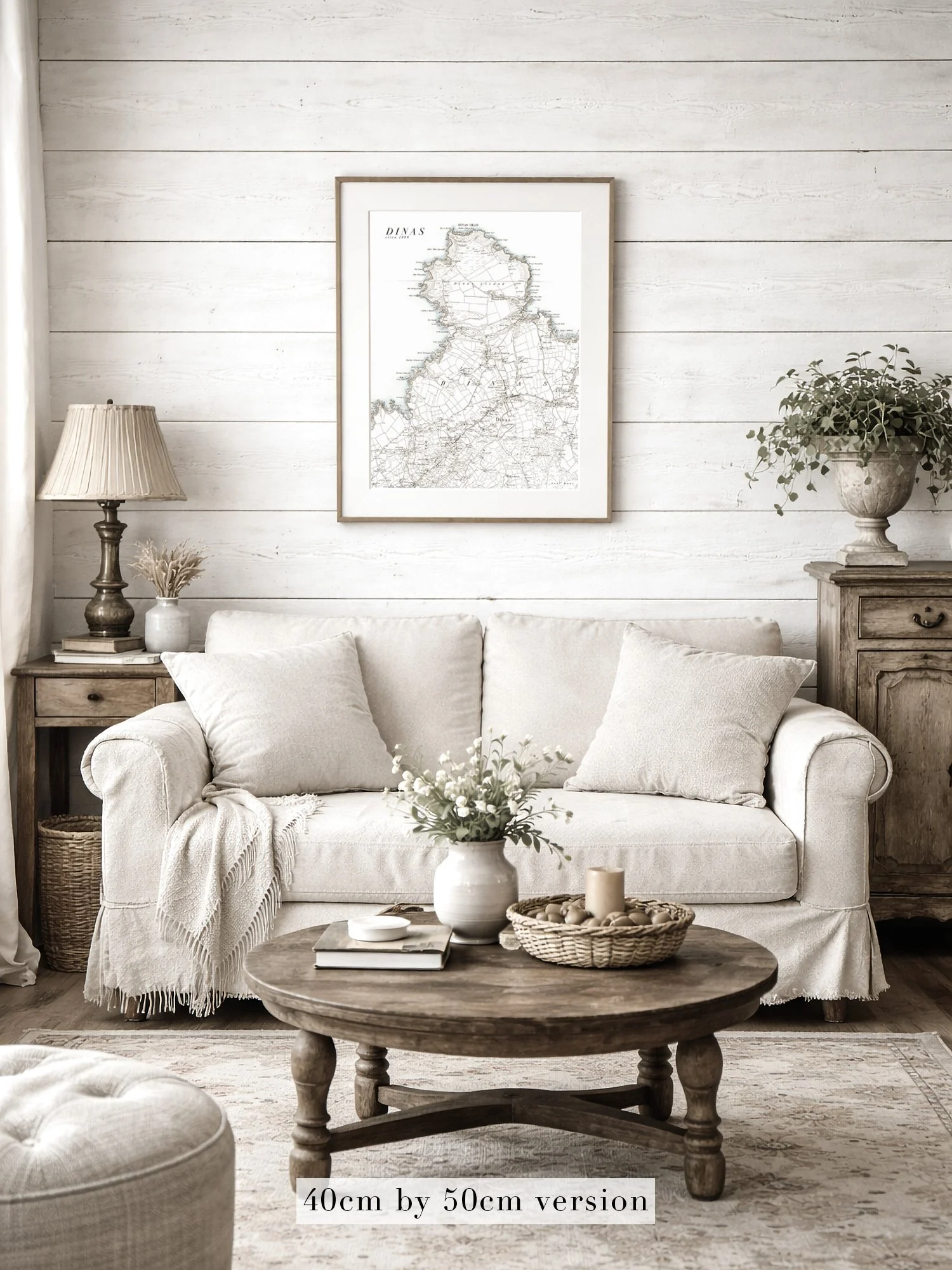
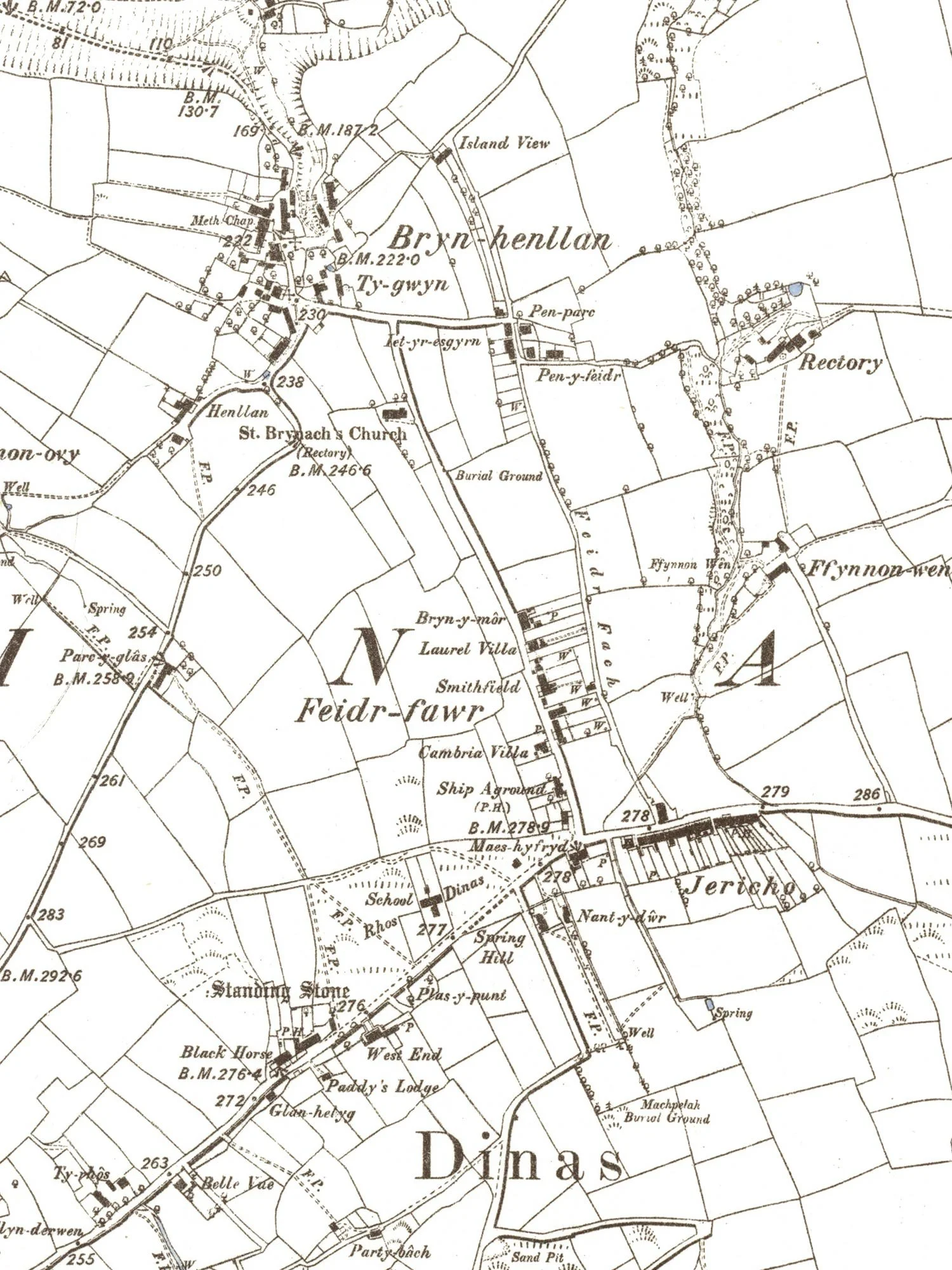
Image 1 of 3
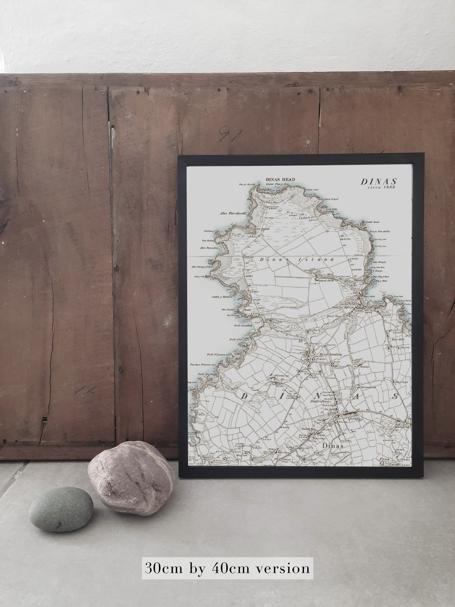
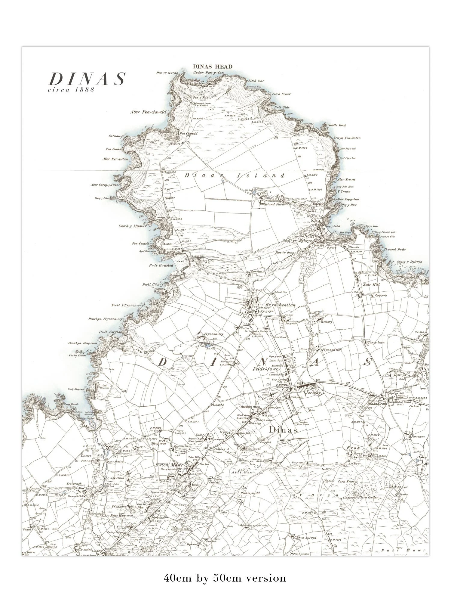
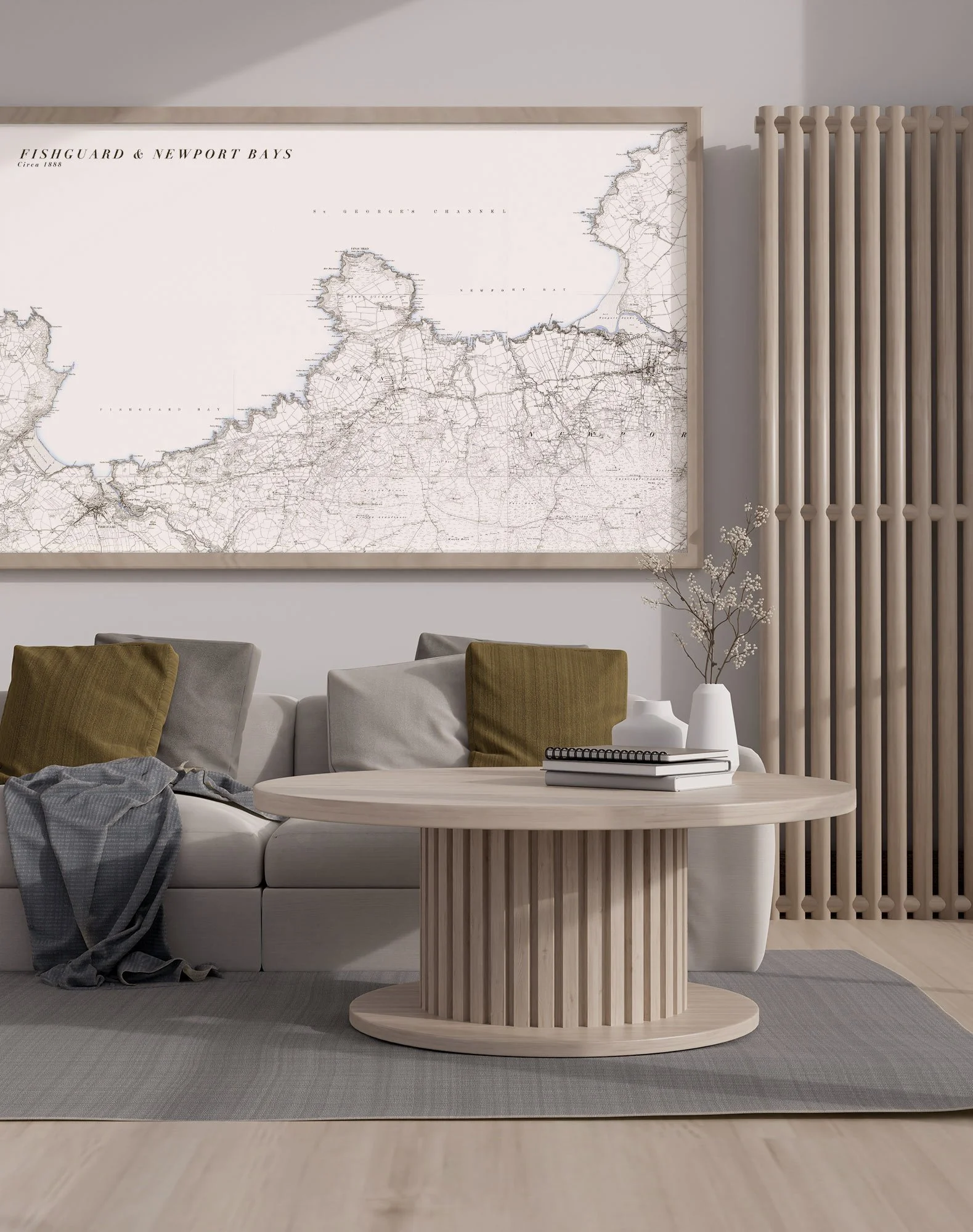
 Image 2 of 3
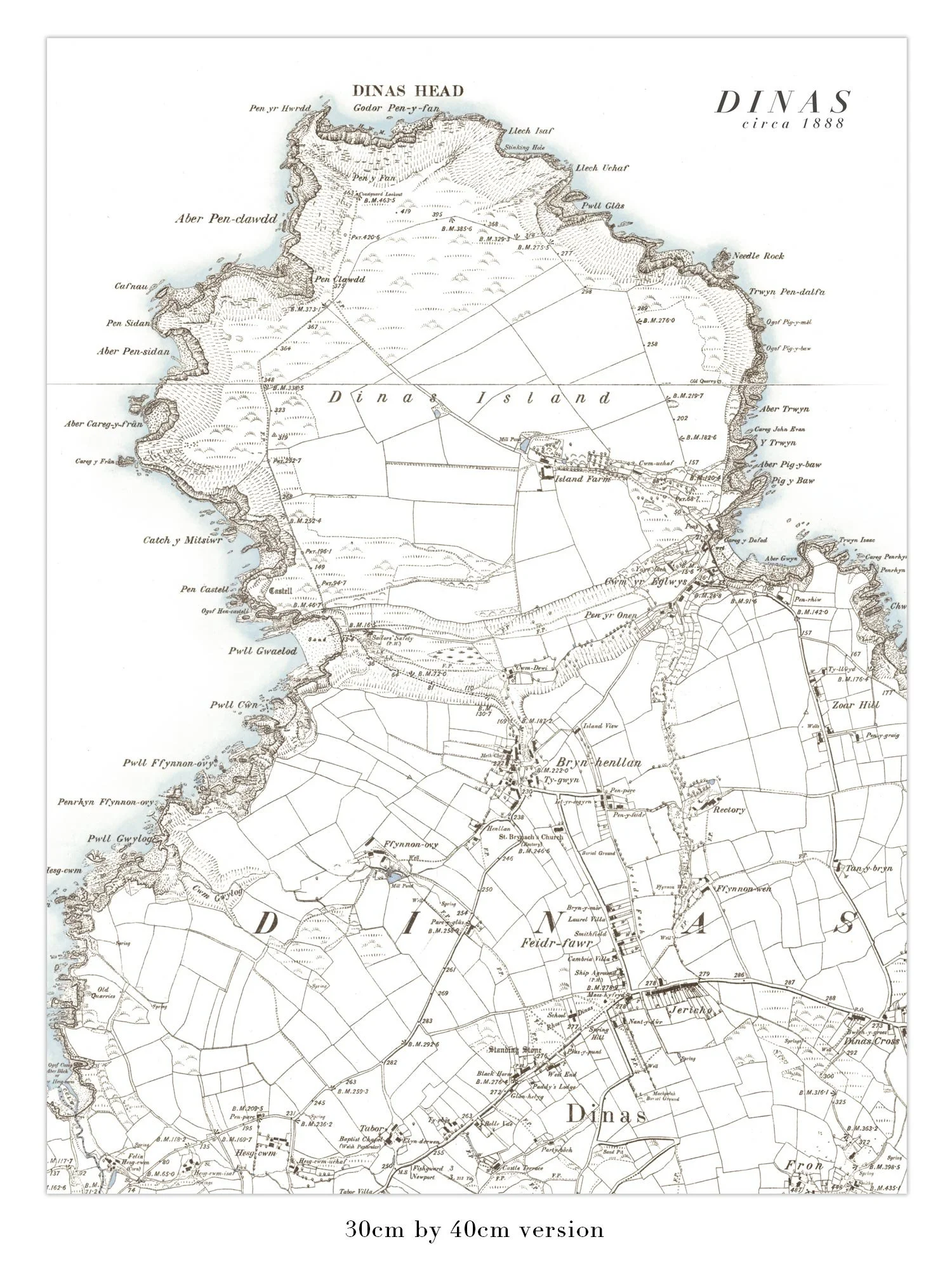
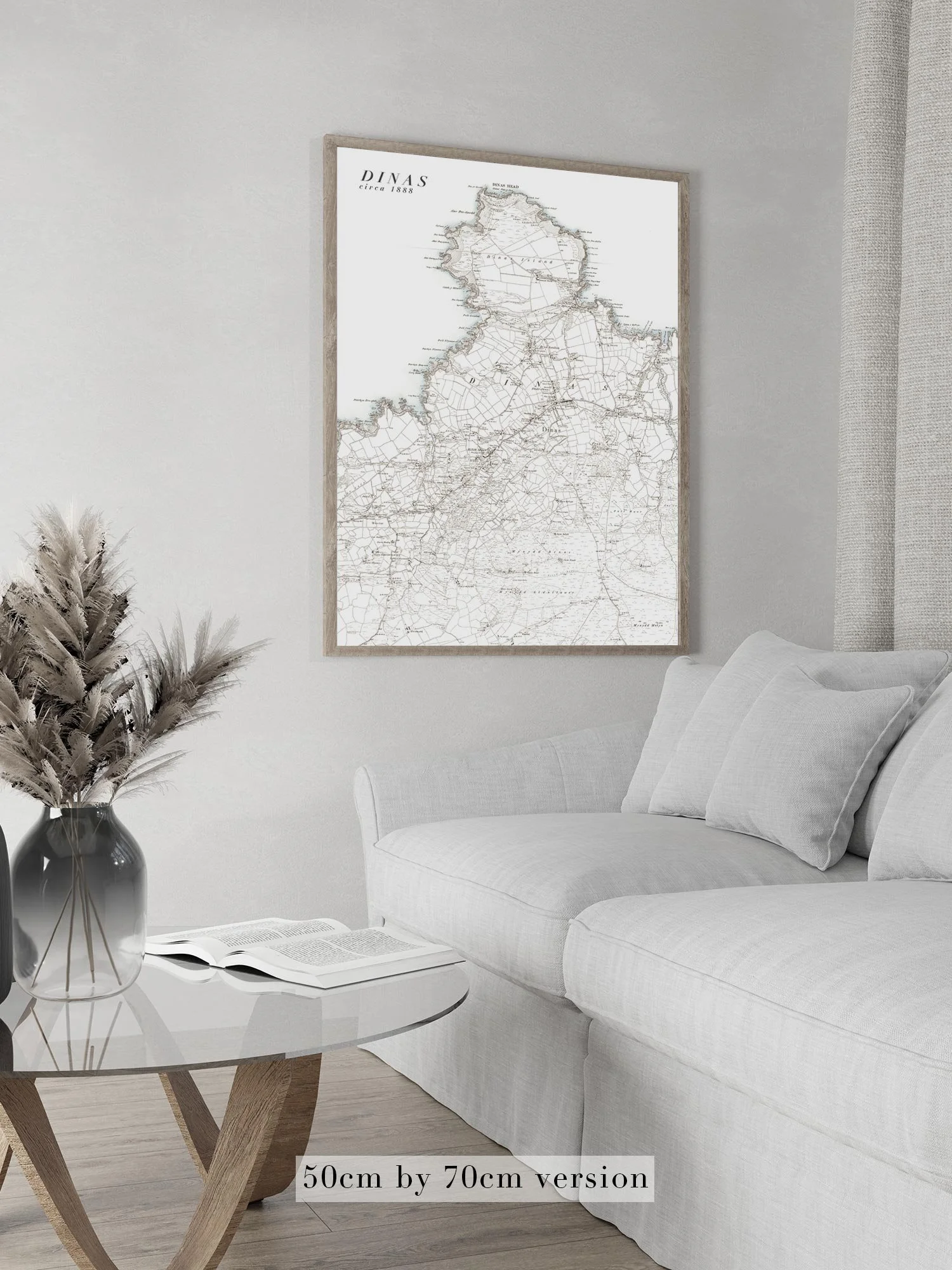
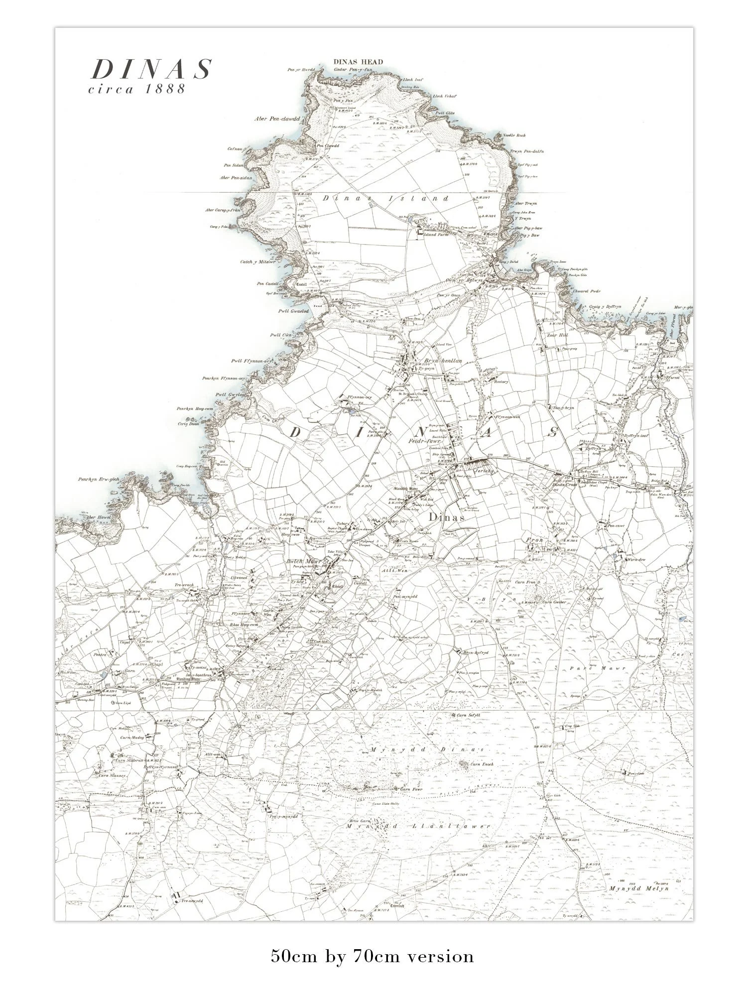
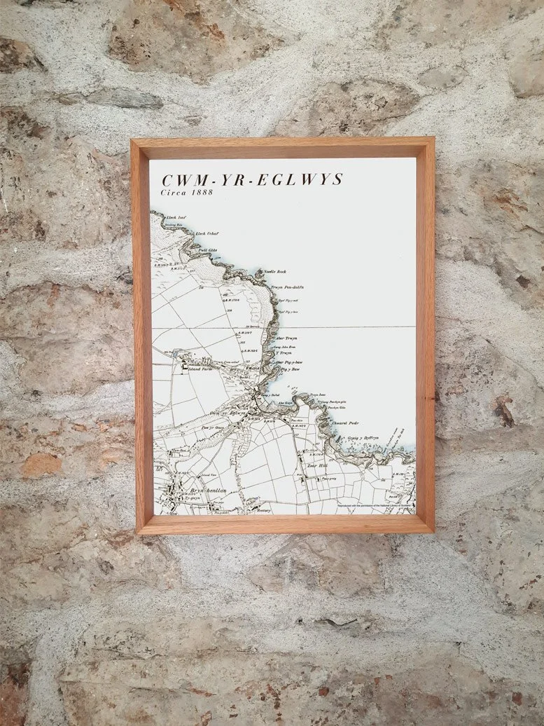
 Image 3 of 3
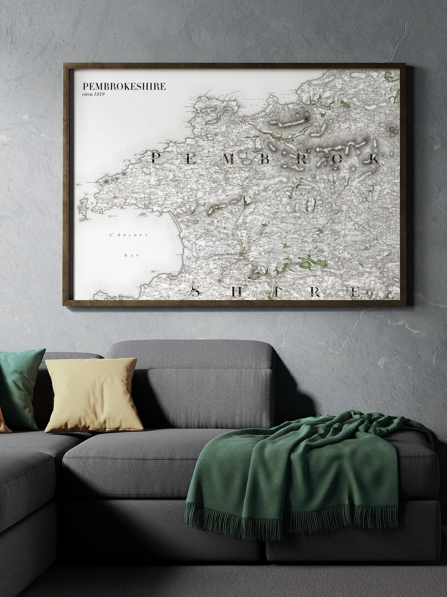
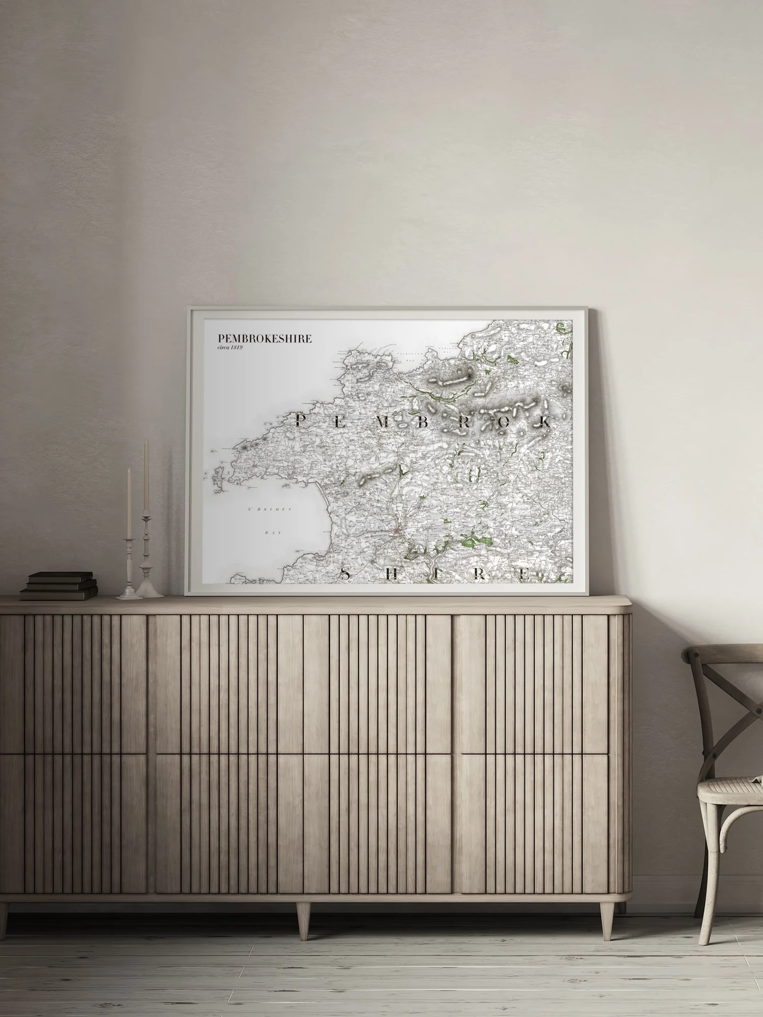
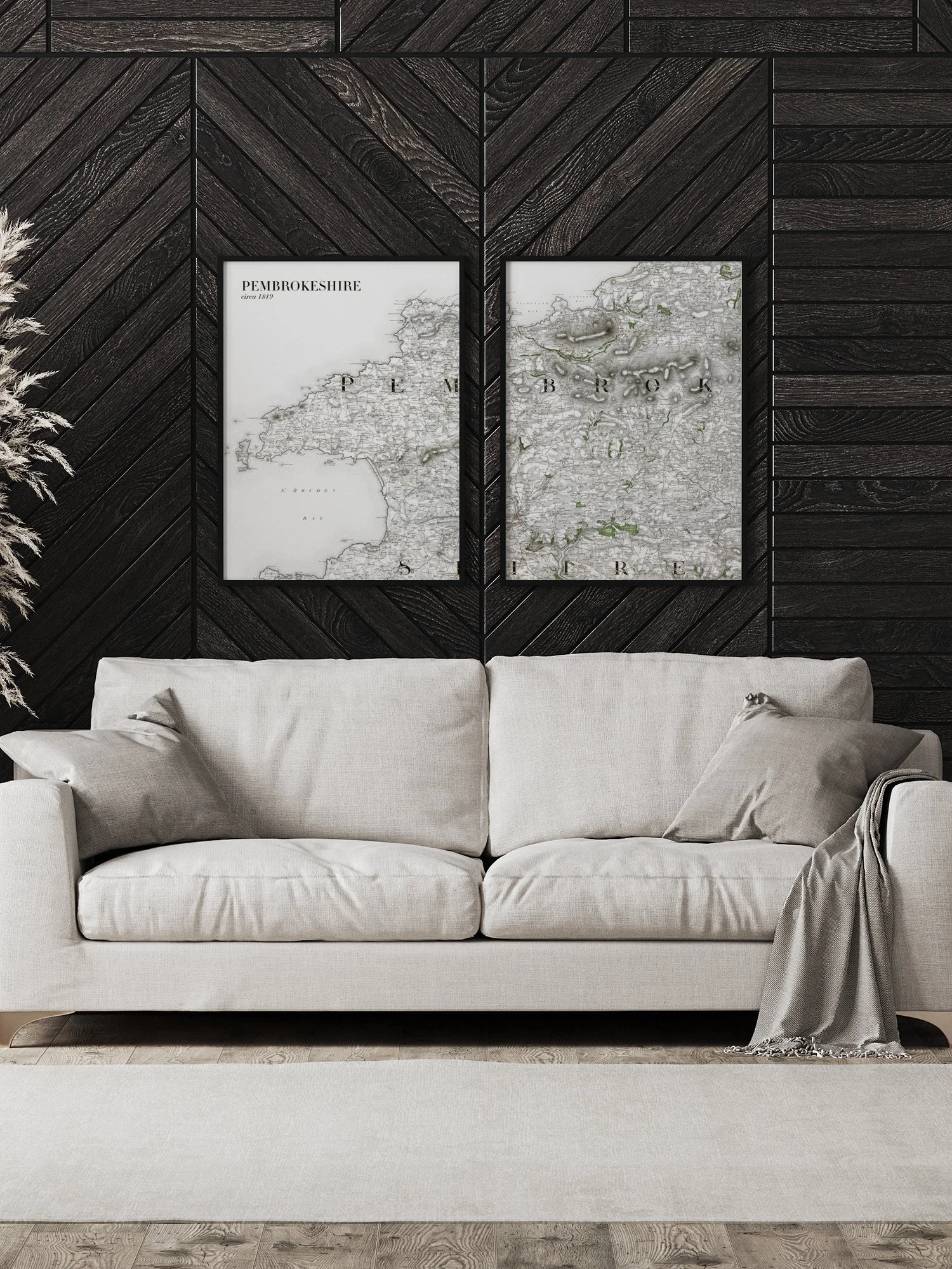
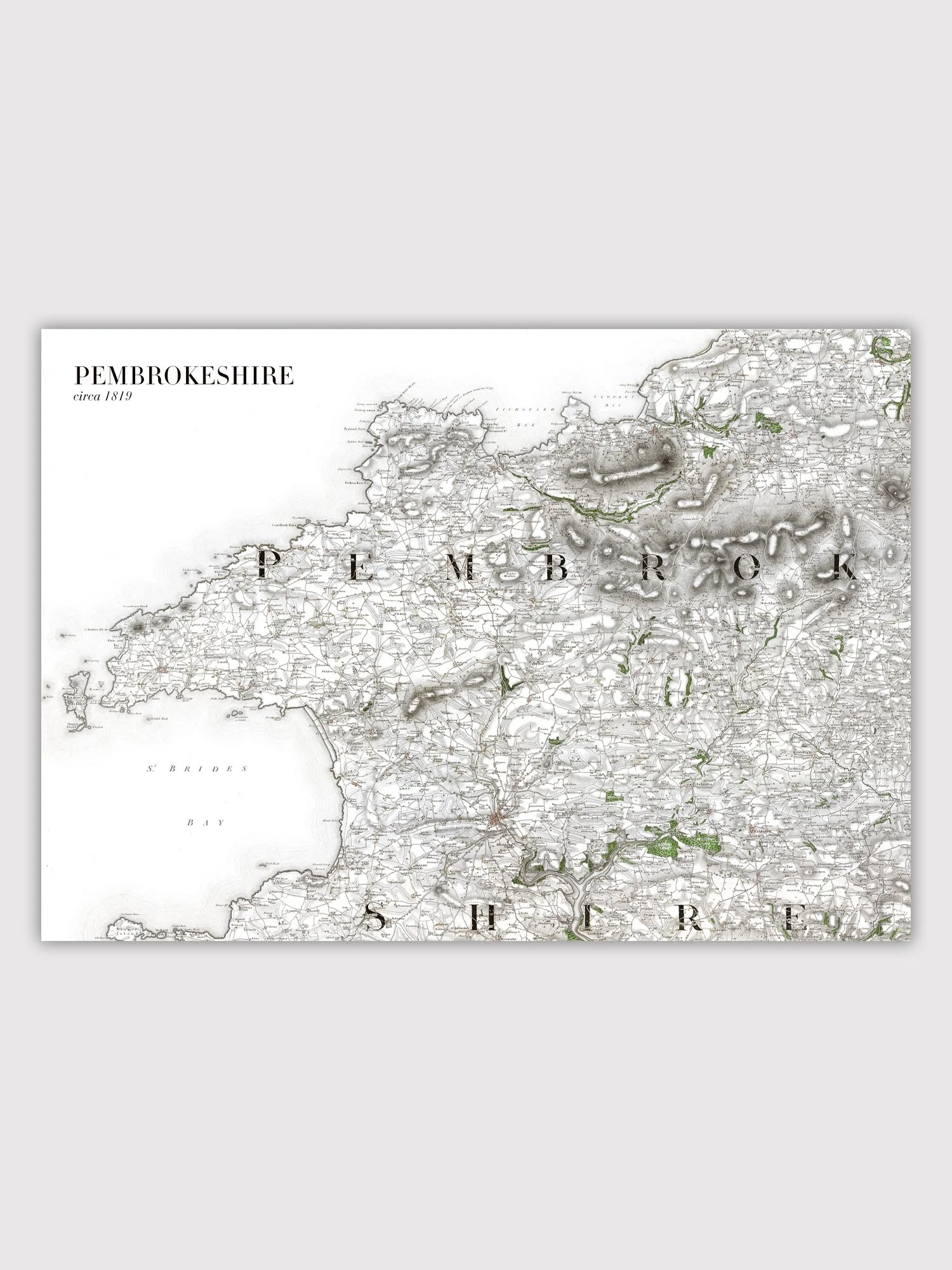
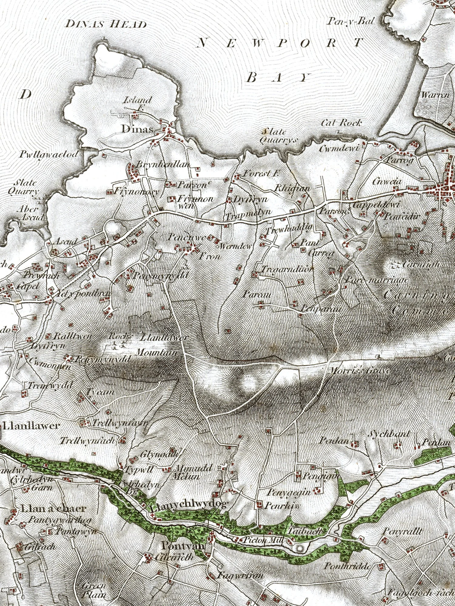
A reproduction print taken from a circa 1888 map. This map covers Castell Henllys and Castell Mawr Iron Age forts and the surrounding countryside in north Pembrokeshire.
It is giclée printed onto an archival quality fine art matt heavyweight paper.