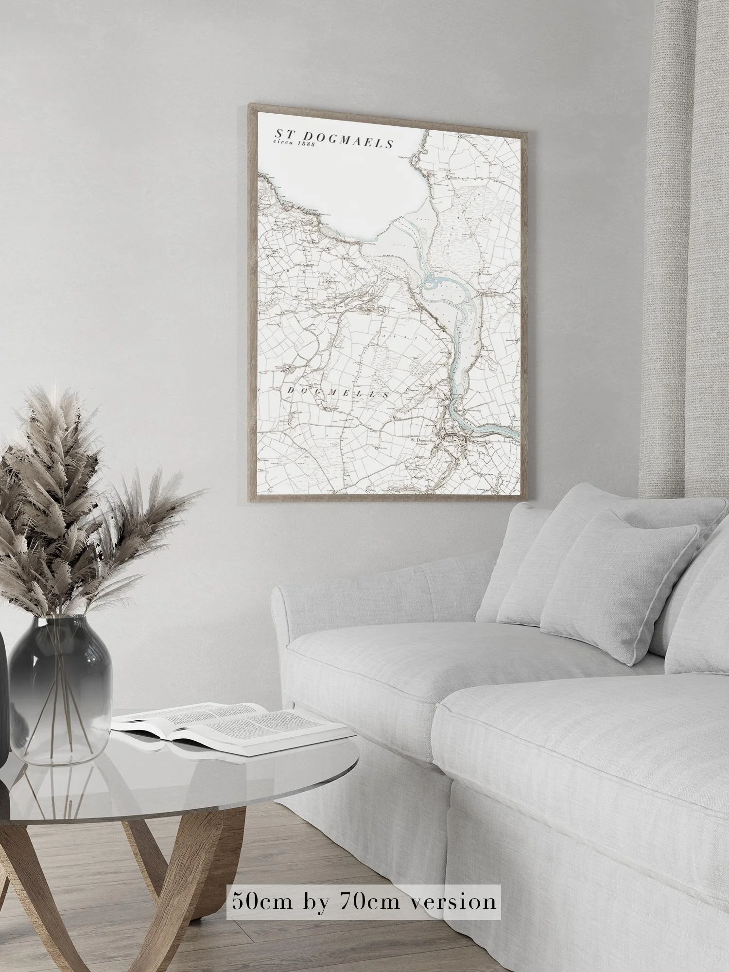
Image 1 of 5
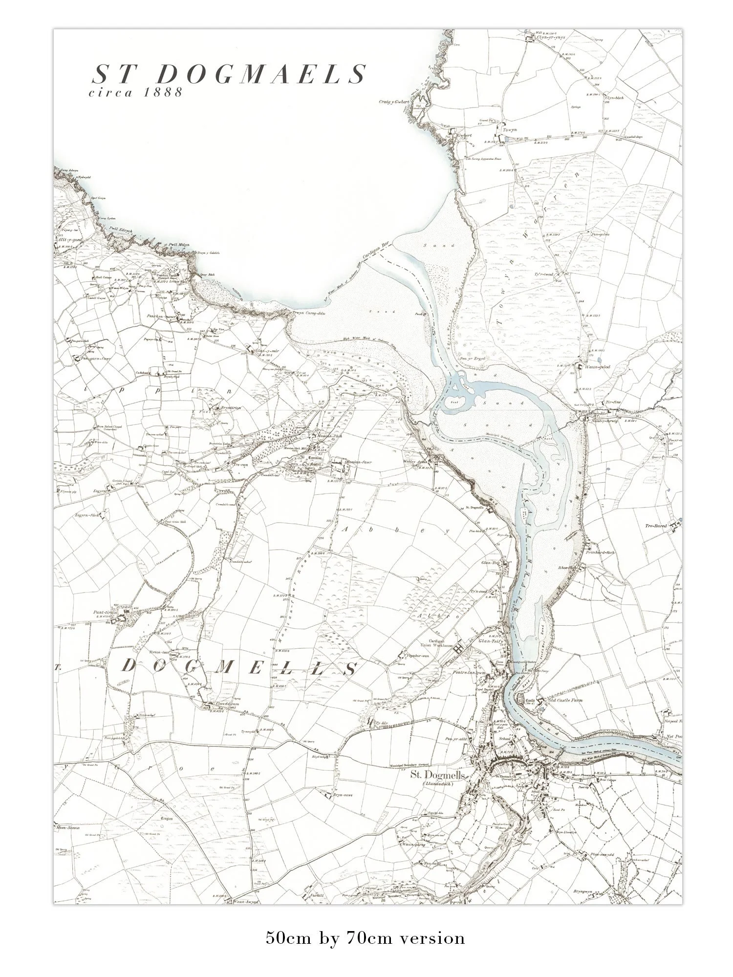
 Image 2 of 5
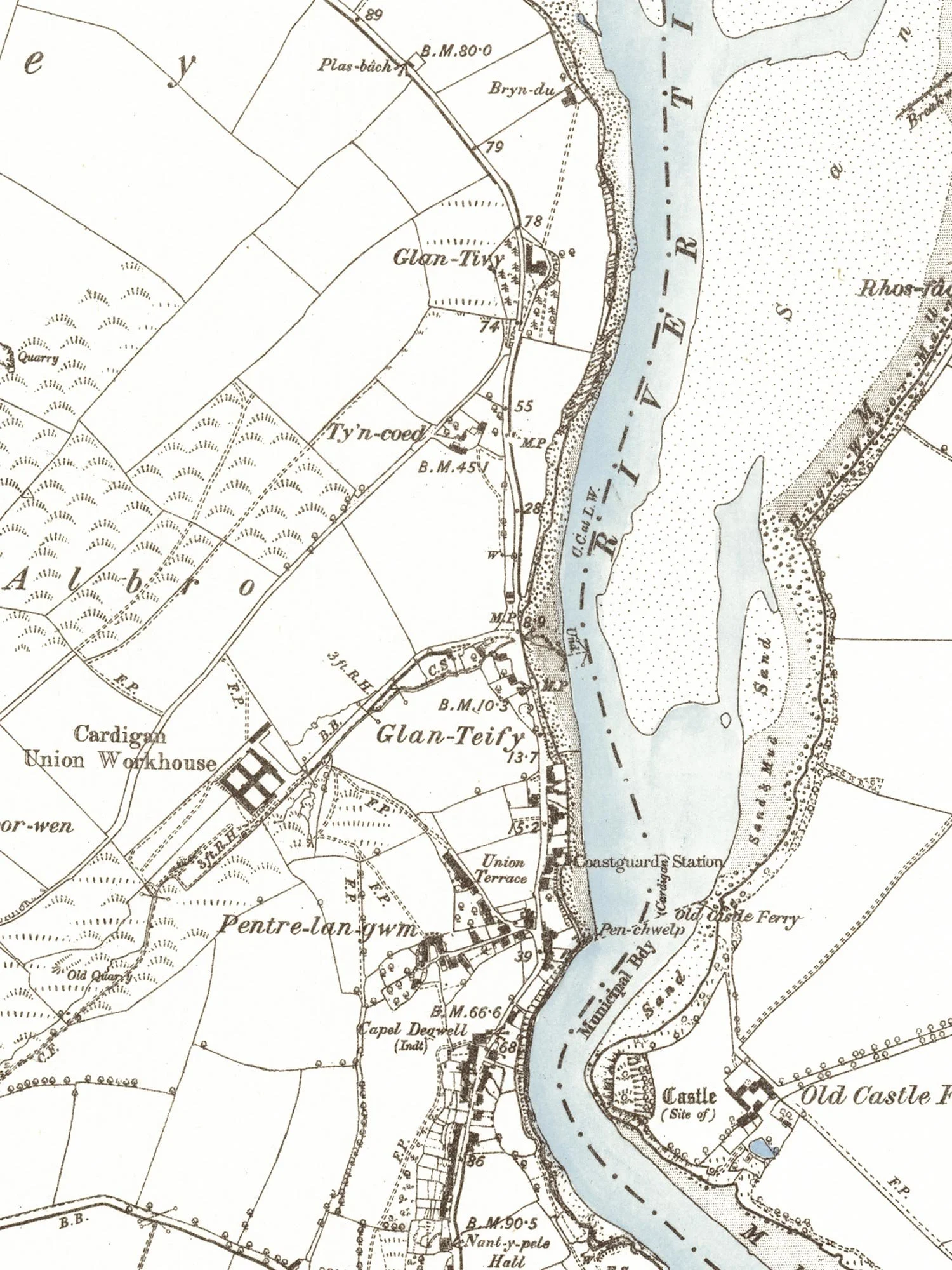
 Image 3 of 5
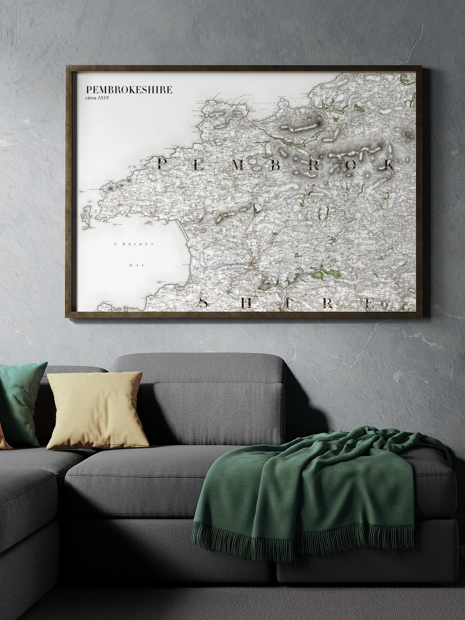
 Image 4 of 5
 Image 5 of 5
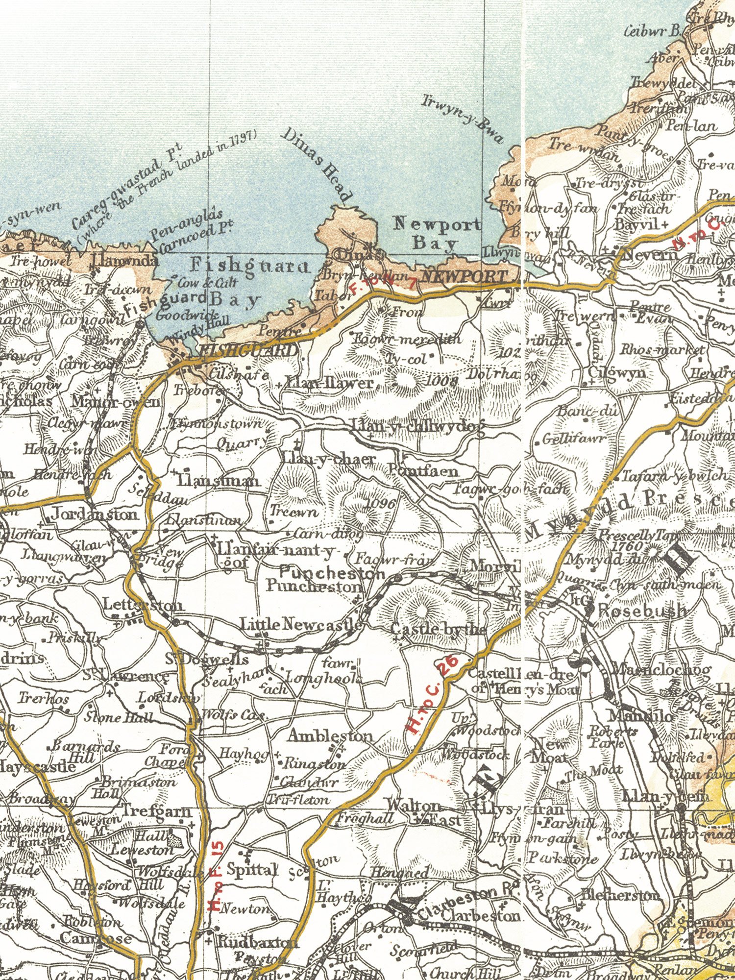
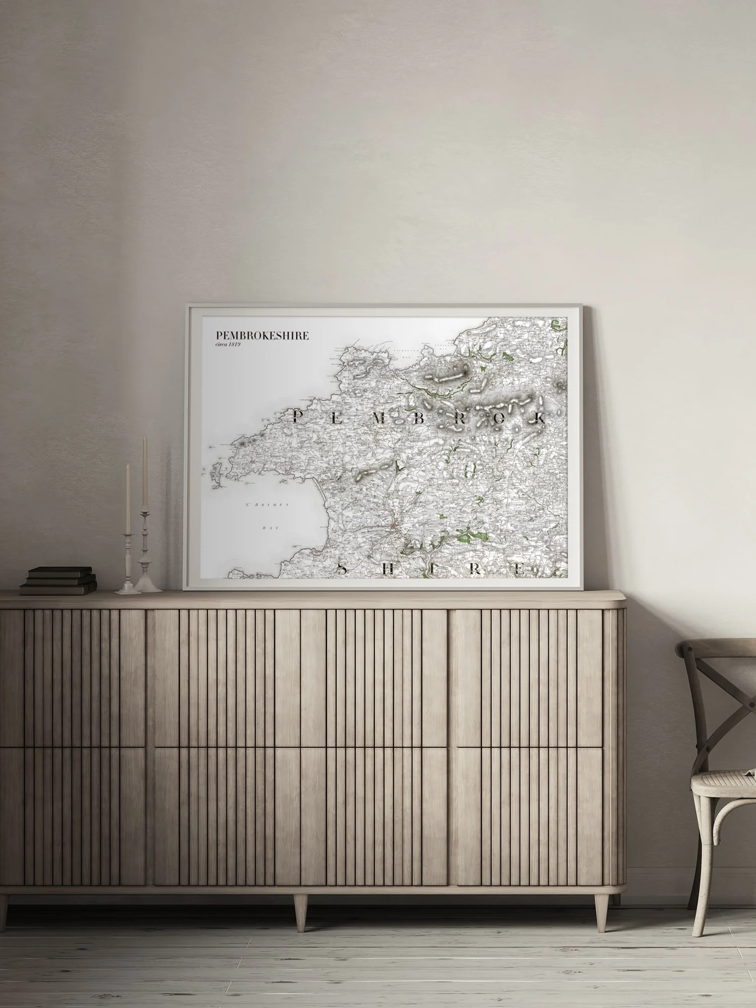
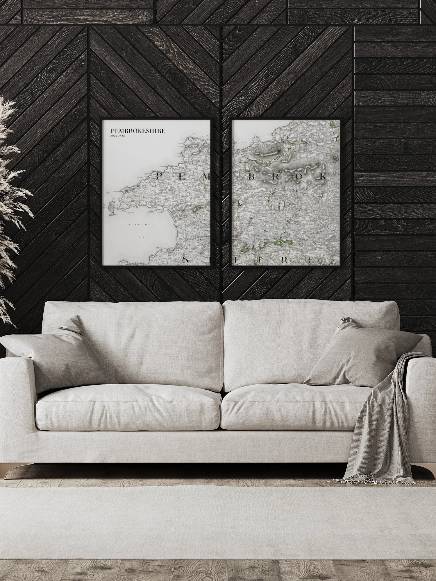
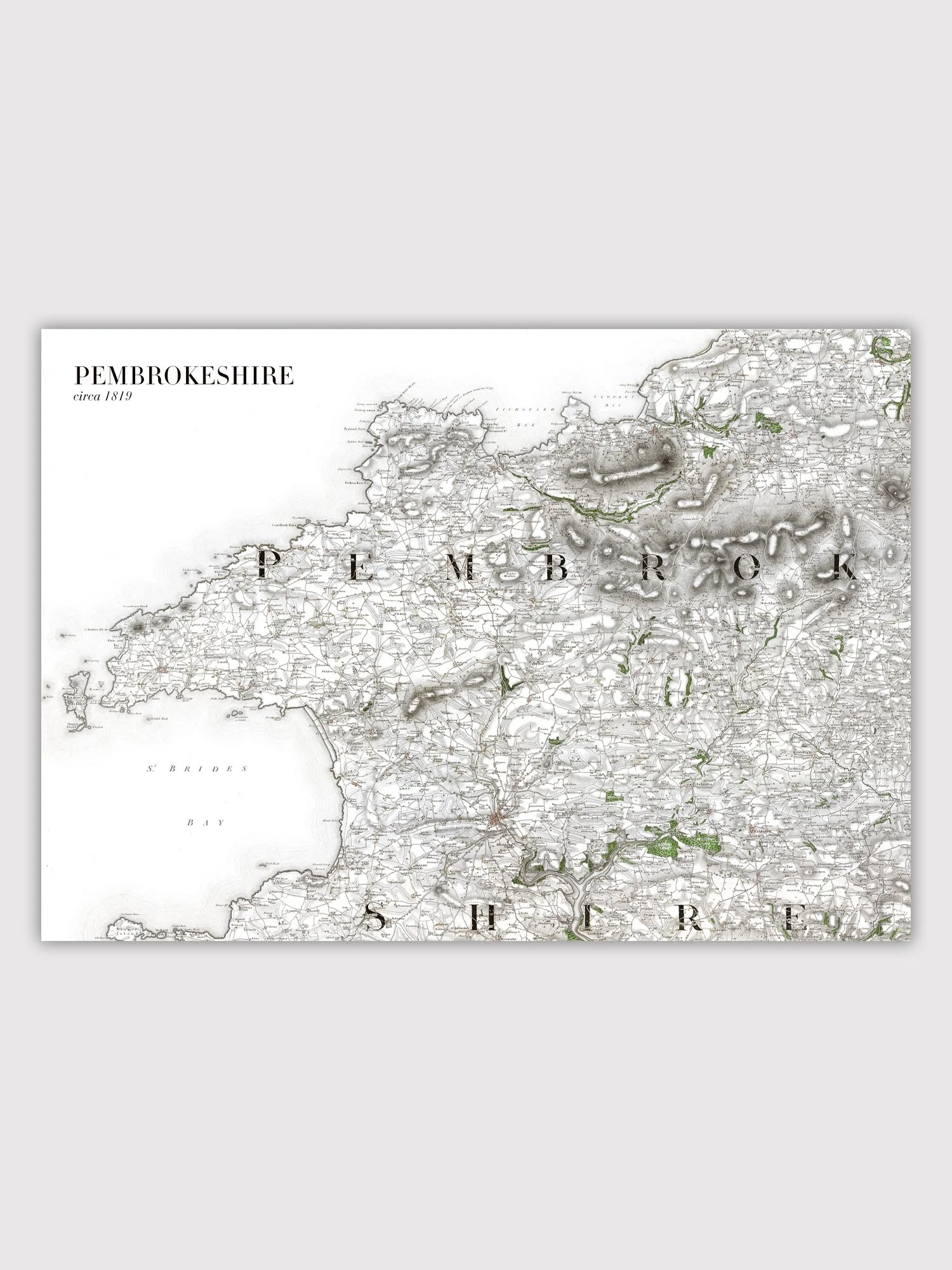
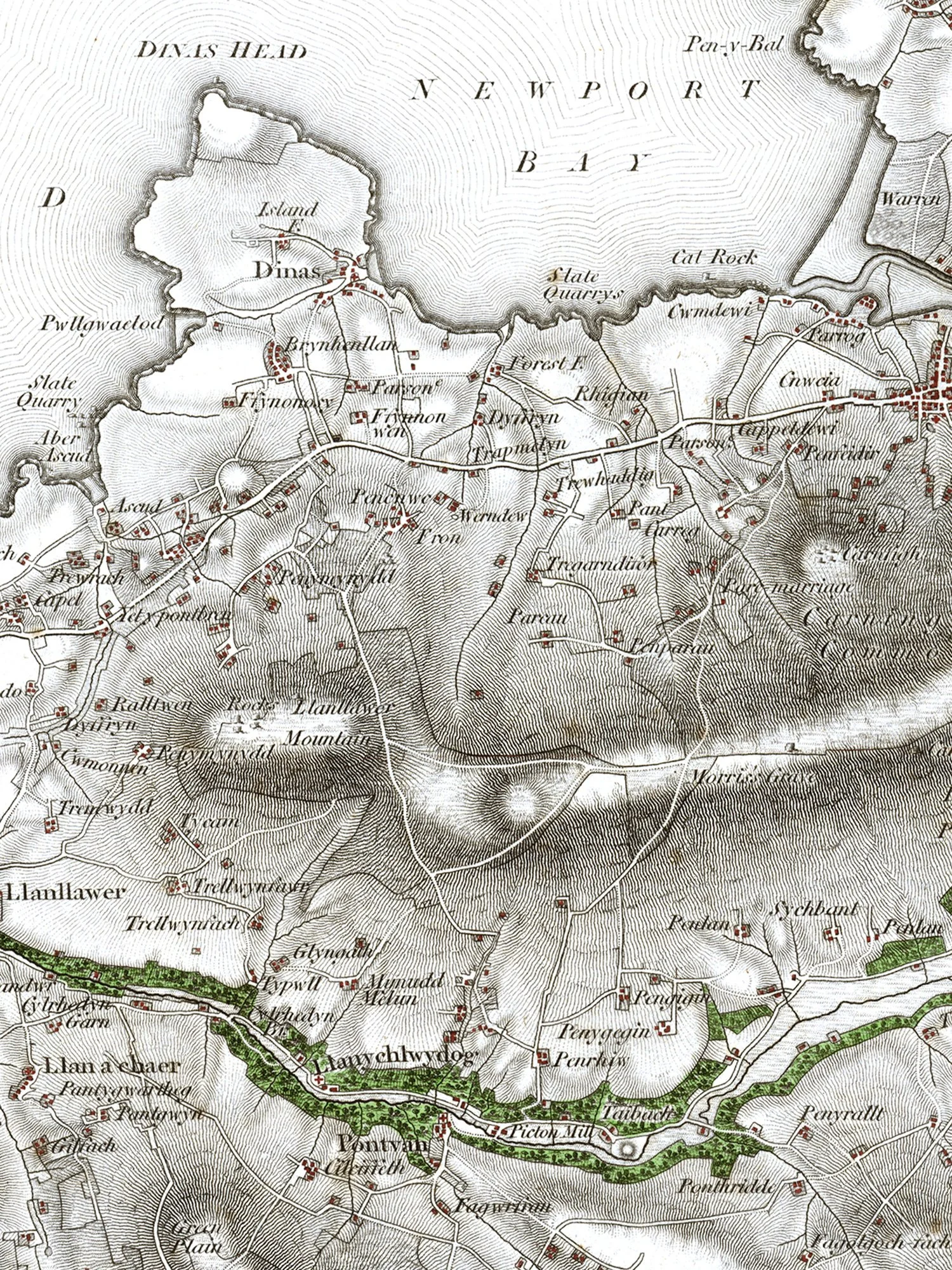
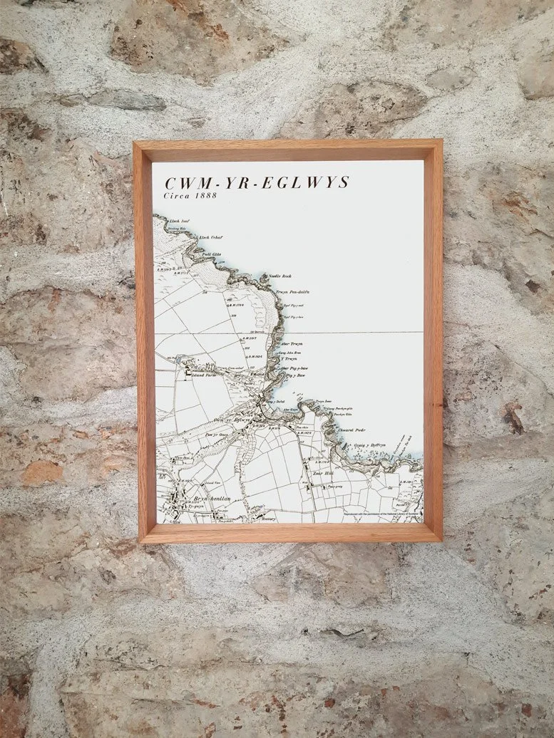
A reproduction print created from a selection of circa 1888 maps. This map covers the village of Dinas Cross and the town of Newport in north Pembrokeshire, incorporating the entirety of Newport Bay and Dinas Island. There is also a large section of Carningli Mountain and also the coastline from Aber Bach near Dinas Cross to Godre Rhug cove to the north of Newport. Practically every rock, inlet and promontory along the coast has a name, with many inland features such as cairns, and minor valleys named too.
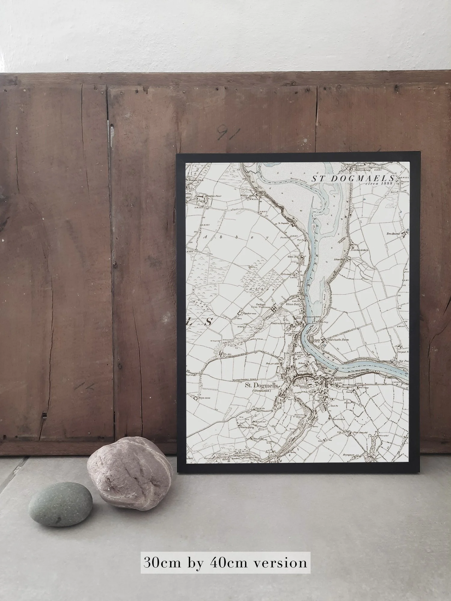
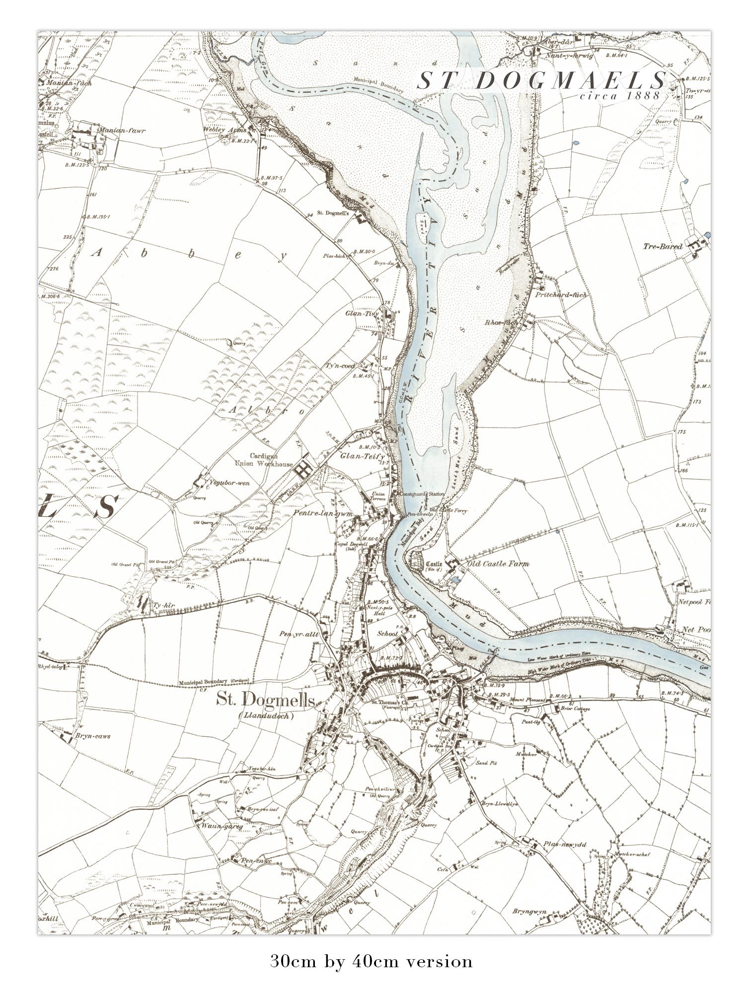
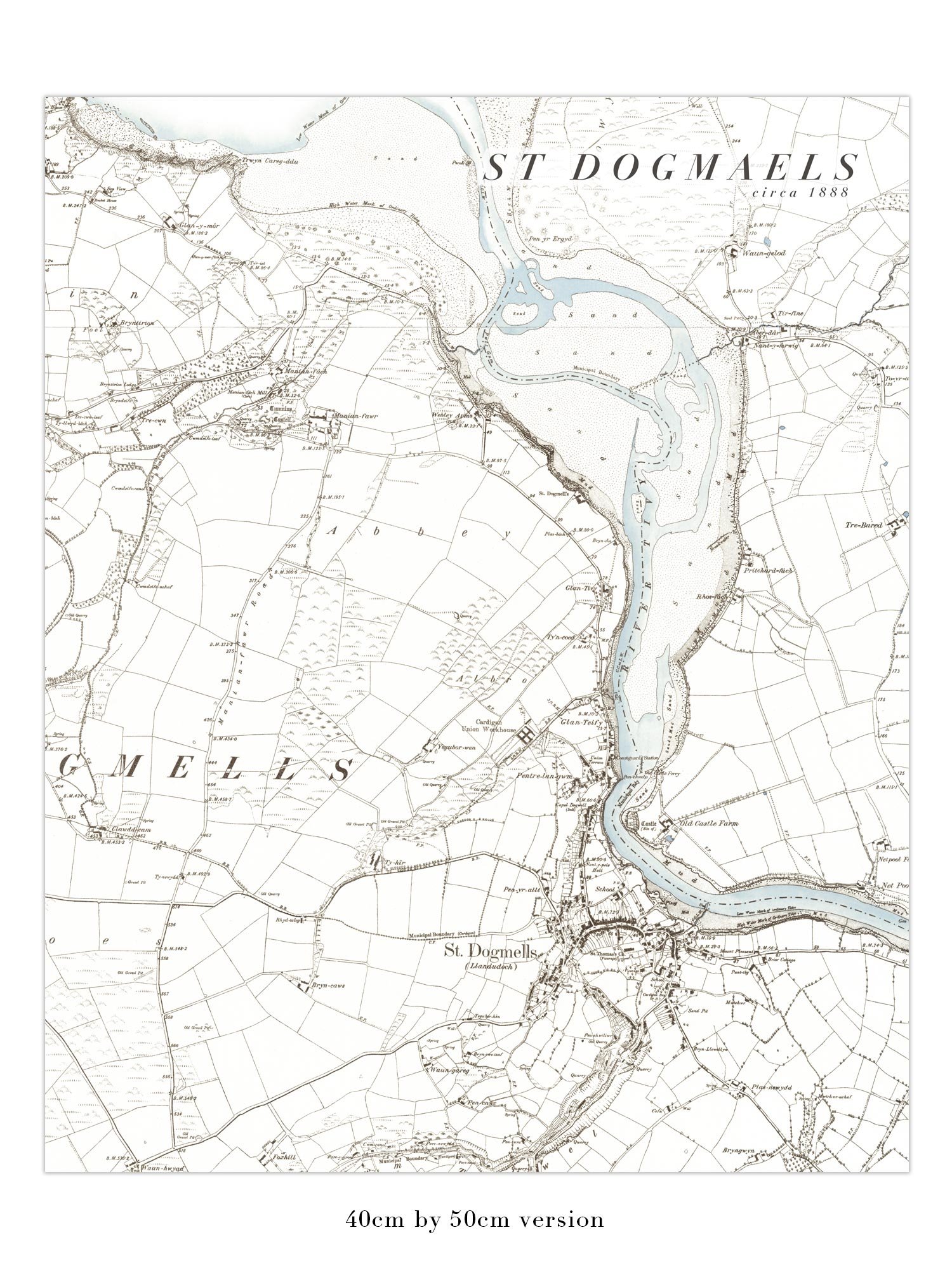
It is available as a fine art giclée print on archival quality Hanemuhle Photorag heavyweight paper, or as a print on 180gsm lustre paper - please select from the options above.
Please note - the price is for either a fine art print or a Lustre print of the map, the frame is not included.
Print atgynhyrchiad a grëwyd o ddetholiad o fapiau tua 1888. Mae'r map hwn yn cwmpasu pentref Dinas Cross a thref Trefdraeth yng ngogledd Sir Benfro, gan ymgorffori Bae Trefdraeth ac Ynys Dinas yn gyfan gwbl. Mae yna hefyd ran fawr o Fynydd Carningli a hefyd yr arfordir o Aber Bach ger Dinas Cross i gilfach Godre Rhug i'r gogledd o Drefdraeth. Mae gan bron bob craig, cilfach a phenrhyn ar hyd yr arfordir enw, gyda llawer o nodweddion mewndirol fel carneddau, a dyffrynnoedd bach wedi'u henwi hefyd.
Mae ar gael fel print giclée celfyddyd gain ar bapur o ansawdd archifol Hanemuhle Photorag heavywieght, neu fel Lustre ar bapur 180gsm - dewiswch o'r opsiynau uchod.
Sylwch - mae'r pris naill ai am brint celfyddyd gain neu brint Lustre o ansawdd y map, nid yw'r ffrâm wedi'i chynnwys.